


Mastering Spatial Data Management in GIS for Better Insights
Every day, satellites, sensors, and smartphones generate an ocean of location-based information. For businesses in urban planning, logistics, and agriculture, this data holds the key to optimization and growth. However, raw data alone is rarely useful. Without a structured approach to organizing, storing, and maintaining this information, organizations risk drowning in noise rather than finding […]
The Ultimate Guide to Geospatial Data Collection Providers
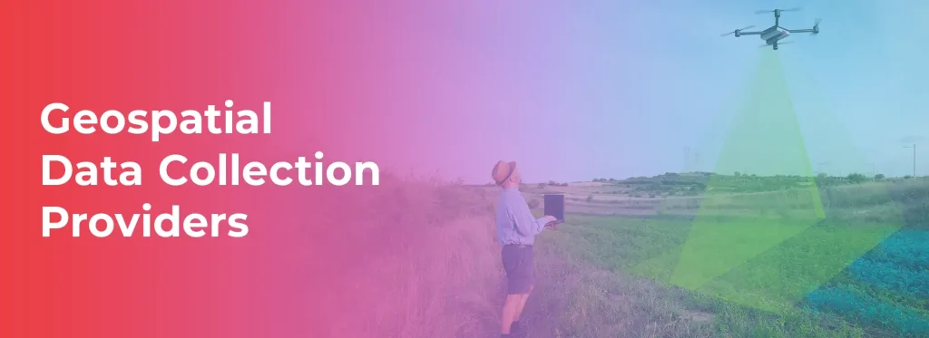
Geospatial data collection has become an essential part of modern industries, playing a vital role in urban planning, environmental monitoring, transportation, agriculture, and defense. With the advent of advanced technologies such as artificial intelligence (AI), satellite imaging, drones, and LiDAR, the geospatial industry is witnessing a rapid transformation. In this blog, we will explore some […]
GIS Data Management: Streamlining Geospatial Information with Macgence
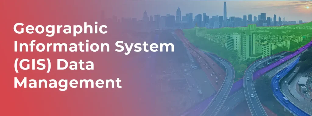
Today’s world is data-based, where Geographic Information Systems (GIS) have a significant role in managing and analyzing spatial issues. Effective GIS Data Management is crucial for organizations that depend on accurate and up-to-date geographical information to make informed decisions. Macgence is a leader in the provision of GIS solutions and we provide comprehensive services in […]