

What Are the Most User-Friendly Geospatial AI Solutions?
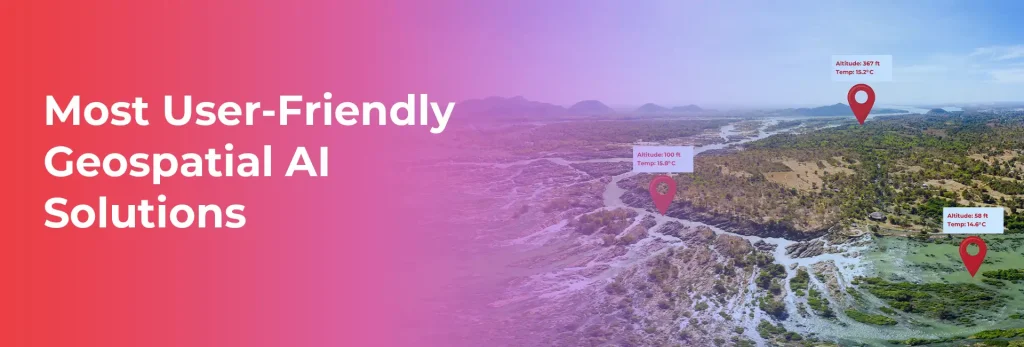
Finding the correct geospatial AI platform should not feel like navigating a maze. Yet, for product managers and CTOs, choosing solutions that strike a balance between power and usability often becomes the biggest challenge in deploying location-based intelligence. The geospatial AI market is estimated to reach $2.3 billion by 2027, but here’s the one thing: […]
The Ultimate Guide to Geospatial Data Collection Providers
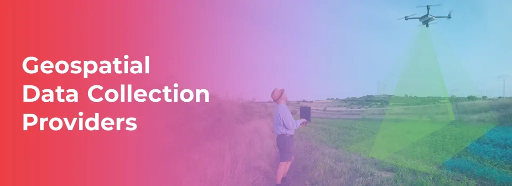
Geospatial data collection has become an essential part of modern industries, playing a vital role in urban planning, environmental monitoring, transportation, agriculture, and defense. With the advent of advanced technologies such as artificial intelligence (AI), satellite imaging, drones, and LiDAR, the geospatial industry is witnessing a rapid transformation. In this blog, we will explore some […]
Geospatial Data Management Systems: Common Mistakes to Avoid
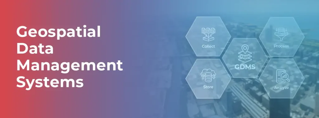
Geospatial data is the backbone of critical decision-making across industries, from urban planning to logistics to environmental conservation. But managing, analyzing, and leveraging this data effectively can be a challenge, given its sheer complexity and volume. This is where Geospatial Data Management Systems (GDMS) come into play, revolutionizing the way professionals store, process, and interpret […]